
GIS Solutions
Geospatial Intelligence for a Smarter Tomorrow
Transform spatial data into actionable insights, helping businesses and organizations make informed decisions. With advanced mapping, analysis, and visualization tools, GIS empowers industries to optimize operations, improve efficiency, and drive innovation across various sectors.
Unlock the Power of Location Data
We deliver advanced geospatial solutions through GIS, remote sensing, and drone-based surveys, including LiDAR and thermal imaging. Whether you’re managing farmland, planning urban growth, or overseeing industrial sites, we turn spatial data into actionable insights
Why Choose Our GIS Services?
- Over 5 Years of Geospatial Expertise
- Cutting-Edge Tools & Software: Customized GIS Solutions and more
- Sector-Specific Solutions tailored for agriculture, urban planning, and industrial operations
- Accurate, Fast, and Dependable service delivery
Our GIS Capabilities

Geographic Information Systems (GIS)
- Custom mapping & spatial analysis
- Land use, zoning, and infrastructure planning
- Environmental and hazard assessments
- Asset & utility network mapping

Remote Sensing
- Satellite and aerial imagery analysis
- Vegetation health & land cover monitoring
- Flood modeling and disaster risk mapping
- Time-series change detection

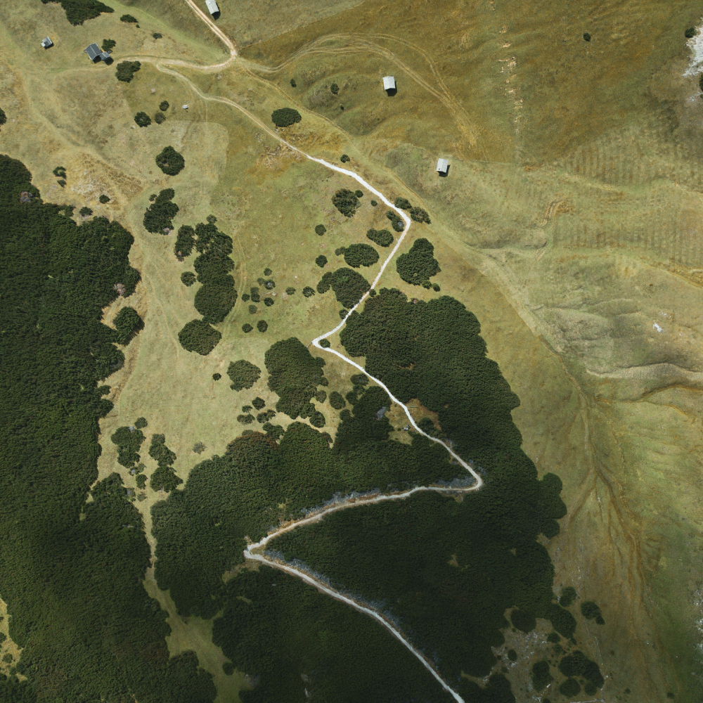
Drone Surveys
- Drone-based LiDAR scanning for precise terrain modeling
- Thermal imaging for heat detection and energy audits
- High-resolution orthophotos and photogrammetry
- 3D models of land, buildings, and infrastructure
Case Study : Real-World Impact
Threat detection across international boundaries
Satellite-Powered Border Surveillance
Leveraging advanced satellite imagery and GIS analytics, our system detects unusual structures and unauthorized cross-border movements in real time. By identifying potential threats, we enhance national security and safeguard territorial integrity with precision and efficiency.
Our technology integrates AI-driven analysis with high-resolution satellite data to monitor vast border areas with unmatched accuracy. By continuously assessing changes in the landscape, detecting anomalies, and predicting potential security risks, we provide authorities with actionable intelligence to respond swiftly and effectively.
INDUSTRIES WE SERVE
Agriculture
- Precision farming and crop health monitoring
- Soil moisture and thermal stress analysis
- Irrigation and drainage planning using elevation models
Urban Development
- Land development suitability analysis
- Urban heat island detection (thermal)
- Digital surface models for planning and simulation
Industrial
- Infrastructure inspection and site mapping
- Heat loss detection in energy facilities
- Terrain and volume measurements with LiDAR